

August 20th 2016
Friends of mine rented a cottage in Lac-Des-Plages for a week so I decided to take advantage of this and spend the night there. The next day, I went to hike Mont-Tremblant. I was unaware it was Ironman weekend so it was crazy busy. I parked at P3 which had a shuttle running every 5 minutes. I started hiking the Johannsen trail which ends at Johannsen peak (930 m). Johannsen peak is a wooded summit.
 Johannsen peak (930 m).
After, I took the Sommets Trail to the gondola at the top of Mount-Tremblant (875 m). Along the trail is Pangman’s Peak (903 m) and Edge Peak (840 m) (photo at top).
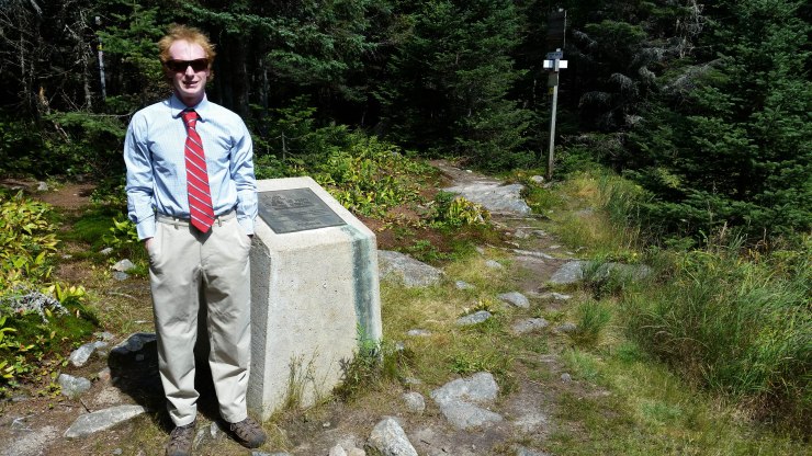
 Pangman’s Peak (903 m).
The Sommets trail links up with a 2.5 km trail called the 360 trail which brings you to the gondola and an overcrowded tower that offers a 360 degree view of Mont Tremblant. Then I hiked back on the Vertigo Trail and Caps Trail to finish it off. The hike down was actually pretty cool very well maintained. All in all a good hike but not worth the 2 hour drive from Ottawa or Montreal. After the hike I was off to Vermont to catch the sunrise from the top of Mount Mansfield.
Click on the  icon to make the Google Map full screen, to see all the photos I took and where they were taken. Click on the
  symbol to see all the photos. There are 3 in total.
Stats:
15.3 km hike
795 meters elevation gain
August 21st 2016
I arrived at the parking lot of Mount Mansfield around 10 pm and immediately went to sleep. I got up around 4 am looked up at the sky to not a single cloud. I was super excited because I knew the views were going to be fantastic. The hike up is a constant, gradual uphill that only has about 50 m of flat section throughout the whole hike. 500 meters from the top there is a sketchy class 2 scramble.
I arrived at the top and all I could see was clouds. I hung out with a few others in this little rock shield that protected us from the wind for about 2 hours but the sun never showed itself.
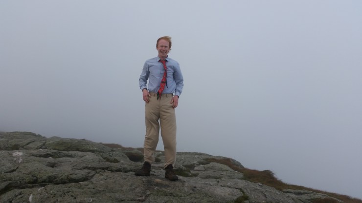 Quintessential summit picture from the top of Mount Mansfield (1339 m).
Click on the icon to make the Google Map full screen, to see all the photos I took and where they were taken. Click on the symbol to see all the photos. There are 3 in total.
Stats:
7.8 km hike
859 meters elevation gain
