

A goal of mine is to hike every hike in Algonquin Park. Centennial Ridges was next on my list. I would suggest doing this hike in the summer because in the winter the road is not plowed. The first kilometer is uphill to a ridge line facing west.
 Facing West.
The trail follows this ridge for the next 800 meters to a small pond.
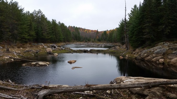 Small pond.
From the small pond the trail continues to climb to its high point 3.5 km in at 553 meters. The feature image is the view from the top. From here the trail meanders up and down with only one steep downhill section until kilometer 6.0 when you reach Cloud Lake.
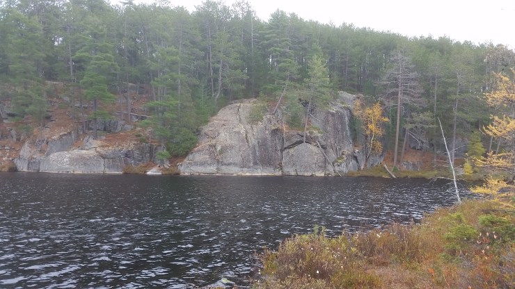 Cloud Lake.
From Cloud Lake the trail continues with rolling hills until you come upon a very exposed 500 meter section of granite cliff. You are on top of these cliffs overlooking Whitefish Lake between km 8 to 8.5.
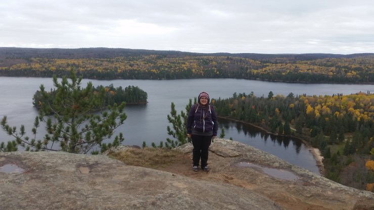 Josee “on top” of Whitefish Lake.
From here the hike gradually declines to the parking lot. It is a great hike. Quite a bit of “view points”. There aren’t too many flat sections just lots of rolling hills. Bring proper shoes.
Click on the ![]() icon to make the Google Map full screen, to see all the photos I took and where they were taken. Click on the
icon to make the Google Map full screen, to see all the photos I took and where they were taken. Click on the ![]() symbol to see all the photos. There are 6 in total.
symbol to see all the photos. There are 6 in total.
Stats:
9.8 km hike
461 m elevation gain
 Josee among the leaves.
