

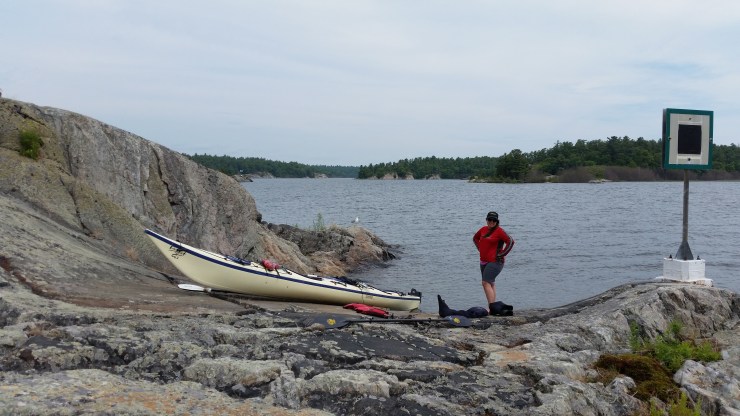
Josée and I’s annual camping trip this year was going to be in Temagami but due to forest fires it would have been potentially too dangerous. A week in advance we planned a 6 day trip to circumnavigate Phillip Edward Island.
Philip Edward Island is located just south of Killarney Provincial Park. The parking is at the Chikanishing trail head but make sure you pay for parking at George Lake Campground.
July 14 2018,
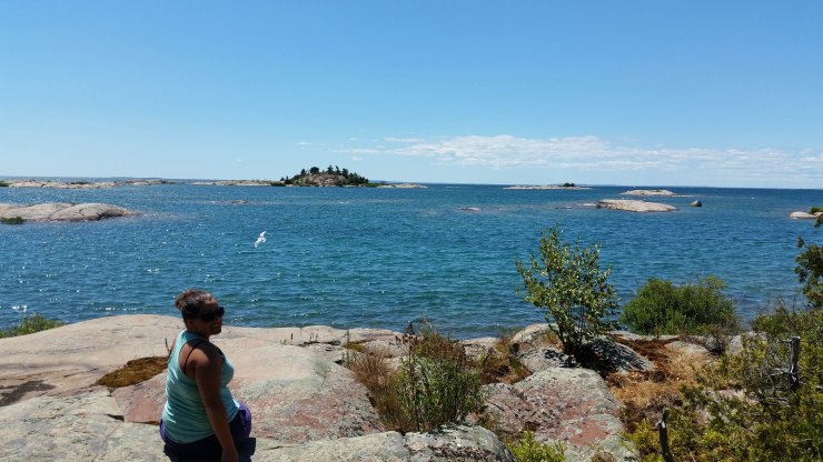
We started at 1 pm which is a little late to start a paddle on Georgian Bay. As we were paddling down Chikanishing river Josée turned around to me and asked if we were paddling to the edge of a waterfall. The waves were crashing very hard against the rocks. We paddled the 700 meters across the Western gap to the South side of Philip Edward Island (PEI). This was probably the choppiest water of the whole trip. From here we weaved in and out of little islands all the way to Solomons Island. We got out for a short hike to an amazing view of the Blue Ridge in Kilarney Provincial Park.
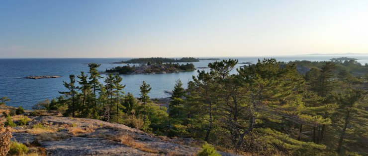
 Blue Ridge from Solomons Island.
From Solomons Island we paddled around for another 4 kilometers weaving around the Foxes to finally find a campsite on Blockbuster Island. Blockbuster Island is a very picturesque Island. I spent a good amount of time just walking around the Island.
 Facing North, another great campsite across the channel, in the distance the Blue Ridge.
 Facing south-west at The Foxes.
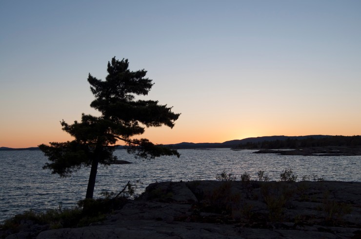
 Sunset with the Blue Ridge in the distance.
July 15th 2018,
One of my goals this trip was to paddle out to Green Island. This required favorable weather. We woke up fairly early packed up and started paddling at 08:37.
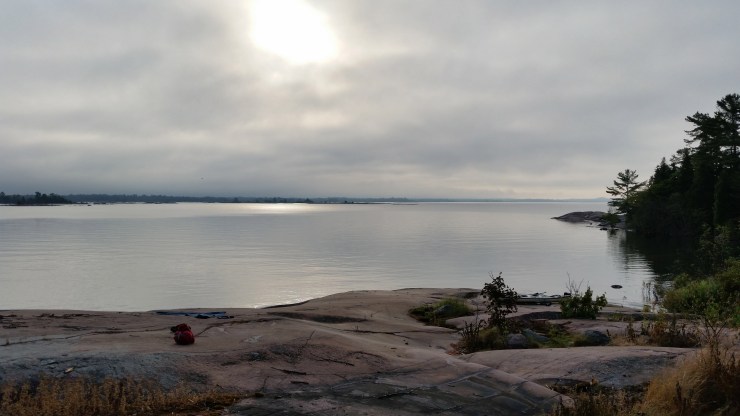 Calm morning view from our campsite.
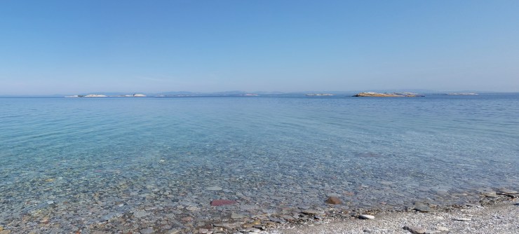
We paddled 6.5 km through open water with not even a ripple. (it would have been closer but I dropped the ball on navigation). Green Island felt exactly like being on an ocean beach on a calm day. The beach was covered in the smallest and smoothest pebbles. The water was turquoise clear just like the Caribbean.
 Green Island.
 Facing PEI from Green Island.
 Pebbles under water around Green Island.
We left Green Island towards the “Big Rock” portage. Along the route we found this perfectly flat 20 by 20 rock that made for a perfect hang out spot with about a foot of water. It was about 500 meters or so from the closest land. It would have been a great spot to bring a few beers and lawn chairs. We made it to “Big Rock” and hiked up.
 View from the top of “Big Rock”
The water was still pretty calm but it was starting to pick up so we decided to weave through the islands just south of PEI. We did this until we came upon an old shipwreck.
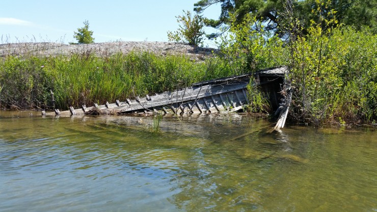 Shipwreck located at 45.95432, -81.25576.
From the shipwreck we paddled until we found a campsite on Crume Island.
 Sunset on Crume Island.
I woke up at 1 in the morning and attempted to take a nighttime photo. I hadn’t realized that the tripod I brought was broken and that I hadn’t brought a shutter release cable and wasn’t thinking to set to the timer so I ended up with a lot of blur.
 This photo really doesn’t do what I was seeing justice.
July 16th 2018
We woke up to sun but by the time we left the rest of the day was overcast. We stayed sheltered from the wind the whole time until we hit Beaverstone Bay. At this point the waves were at our back. We paddled until noon and found this great little lunch spot.
 Lunch spot.
From here we paddled to Collins Inlet. This used to be an old lumbering town with a boarding house, houses, a school, a store and a post office.
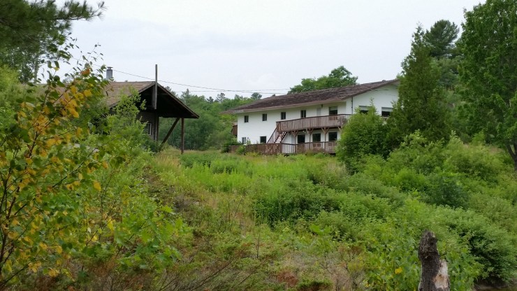 Some buildings built in the area after the lumber mill was burnt.
From here we paddled into Mill Lake and found a great campsite on Archers Island.
July 17th 2018
We woke up to a beautiful sunny morning.
 View from our campsite on Archers Island.
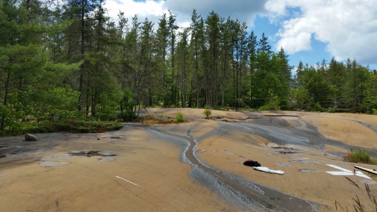
From here we continued along the north side of PEI until we came upon old aboriginal pictographs. They were quite difficult to find.
 Aboriginal Pictographs located @ 45.99489, -81.26232.
For lunch we found this awesome campsite with several grills and a padded seat for the thunderbox.
 Lunch spot.
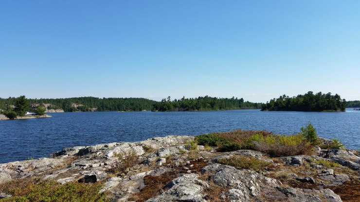
We continued paddling for another 7 kilometers until we finally found a campsite for us to stay the night.
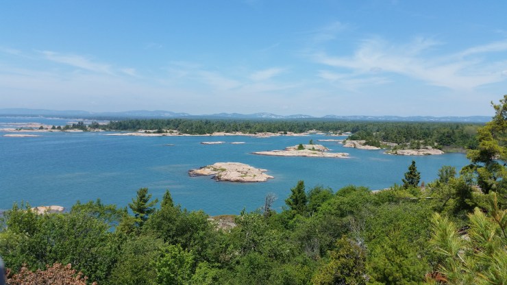
 View from our campsite on Philip Edward Island.
July 18th 2018
We were only about 2 kilometers from the car but we had packed for another night so we decided to find another campsite close to our car but on the Georgian Bay side. We found this awesome site on Jaws Island.
 View from Jaws Island.
The sunset was awesome to!
 Sunset on Jaws Island.
July 19th 2018
A quick paddle back to the car and our trip was over.
 Our kayak was longer than my car.
This was an amazing 6 day trip that could have easily been done in 4. While planning for this trip it was really hard to find which sites were good and which sites sucked. We had a map with marked and known sites but they are all crown land so it’s really hard to know ahead of time if they are any good. If you plan on doing this trip I’d recommend 6 days just in case the weather turns on you. I would highly recommend paddling before noon when the water is calmer. Look at my google maps below for sites and what they look like. All the sites we stayed at I would highly recommend.
Click on the  icon to make the Google Map full screen, to see all the photos I took and where they were taken. Click on the
  symbol to see all the photos. There are 43 in total. I colour coded each day. Purple is day 1, burgundy is day 2, orange is day 3, yellow is day 4, green is day 5, brown is day 6.
Here is a video of our trip: https://www.youtube.com/watch?v=Yt21fSisMVk&t=
Stats:
July 14th 11.2 km
July 15th 17.1 km
July 16th 20.0 km
July 17th 16.3 km
July 18th 5.1 km
July 19th 3.8 km
Total trip: 73.5 km
