

5 degrees and sunny in February! If ever there was a day to get out and explore in the winter, today was a day I couldn’t pass up! After recently being informed that my previous Pikes Peak journey was to Old Baldy I knew I had to remedy the situation. I was told to just continue following the snowmobile trail and stick right after Old Baldy.
I parked on Farley’s Rd. in a plowed out area to not obstruct traffic. From here I cross- country (XC) skied across Grassy Bay.
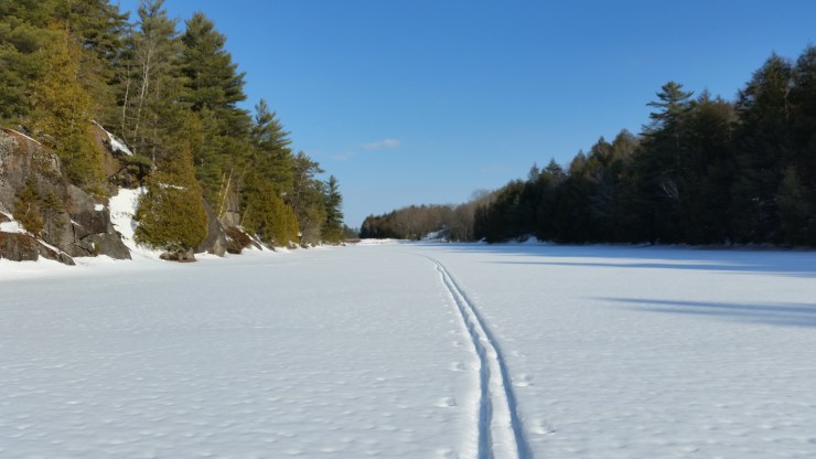 Looking back on Grassy Bay
From Grassy Bay there was a rather difficult snowshoe through a stream that feeds Grassy Bay. Once I made it to the snowmobile trail on Mud Lake I strapped on my XC skies for the rest of the journey.
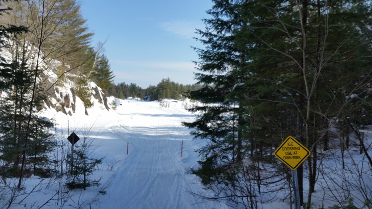 Mud Lake
The sections between the lakes where very hilly. I am a very inexperience XC skier and fell way too many times to count. I found the best way to go downhill was to sit on the skies. From Mud lake I crossed to Mell Bill Pond. After Mell Bill Pond I made it to Dunchurch Lake. Old Baldy is found at 45.632834, -79.933253.
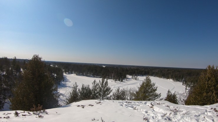 View from “Old Baldy”
The photo doesn’t do it justice. Here is a short video from the peak: https://www.youtube.com/watch?v=vjCBdRRK4JY
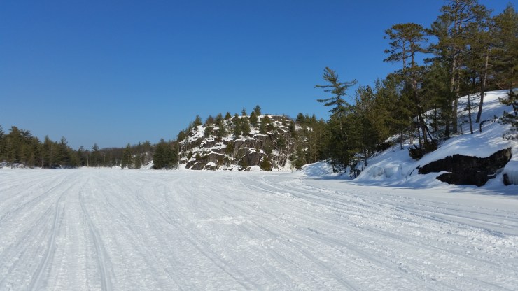 “Old Baldy” from Dunchurch Lake
After Dunchurch Lake the snowmobile trail runs east. To get to Pikes Peak continue South to Canning Lake. I XC skied another 3.2 km till the end of Canning Lake to get to Pikes Peak. Pikes Peak is located at 45.607584, -79.948849.
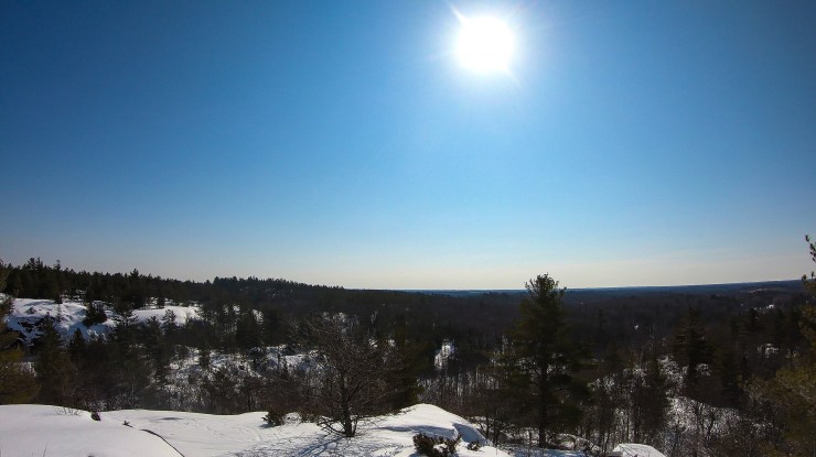 View from Pikes Peak
Here is a short video of Pikes Peak: https://www.youtube.com/watch?v=N9pWhHbsBsc
The XC ski back was a lot better managed. I took off my skis for the difficult sections and walked them instead of trying to power through like on the way there. The more realistic approach to Pikes Peak and Old Baldy is by snowmobile. Both peaks are along the 805 snowmobile trail.
Click on the ![]() icon to make the Google Map full screen, to see all the photos I took and where they were taken. Click on the
icon to make the Google Map full screen, to see all the photos I took and where they were taken. Click on the ![]() symbol to see all the photos. There are 12 in total.
symbol to see all the photos. There are 12 in total.
Stats:
Total hike: 15.8 km
Elevation gain: 869 m
