

I woke up this morning super motivated and decided I would attempt to do all three hiking trails in Killbear Provincial Park. Because it is during the off season it is free to walk around but parking is at the entrance and the rest of the park is fenced off from vehicles. This makes the trails harder to get to. In the future I would bring a bike.
Twin Points Trail: This 1.6 km loop trail offers great views of Georgian Bay. This is a great trail if your in the park looking to go for a short hike. It is pretty exposed and most of the trail is on smooth rock so be careful if the rock is wet. The feature image up top is the view from one of the points.
Lookout Point Trail: This is a great 3.6 km loop trail. The first kilometer or so is mainly board-walked over wetland. From here there is a slight uphill to the lookout overlooking Georgian Bay. The trail isn’t to difficult with only 83 meters of elevation gain. In the fall most of the rocks were hidden under leaves so I tripped several times.
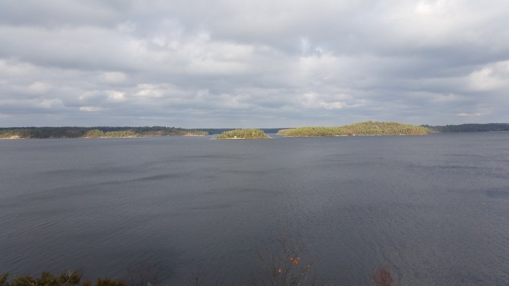 Lookout facing north-east.
Lighthouse Point Trail: This 700 meter loop trail is super short, flat and rocky. Halfway there is a lighthouse on the point.
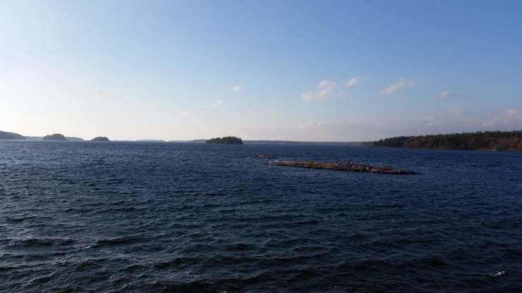 View from the lighthouse.
The most difficult part of the day was the 13.5 km of walking from trail to trail in the park.
Click on the ![]() icon to make the Google Map full screen, to see all the photos I took and where they were taken. Click on the
icon to make the Google Map full screen, to see all the photos I took and where they were taken. Click on the ![]() symbol to see all the photos. There are 7 in total. I colour coded each hike: blue for the whole trip, green for Twin Points Trail, yellow for Lookout Point Trail, brown for Lighthouse Point Trail.
symbol to see all the photos. There are 7 in total. I colour coded each hike: blue for the whole trip, green for Twin Points Trail, yellow for Lookout Point Trail, brown for Lighthouse Point Trail.
