

Two weeks before Jo and I set off on our five day trip in Killarney, I checked out its topographical map. I noticed a peak − Peak 489 − that seemed to tower over all the other peaks, safe for Silver Peak. Peak 489 overlooks O.S.A. Lake and potentially Georgian Bay.
Saturday morning, I woke up early and drove off to Killarney. I wasn’t sure if the parking at “The Crack” had a pay meter, so I drove to the head office. When I got there at 8 a.m., there was a lineup of people waiting to get first come, first served campsites. To my surprise, there were quite a few sites (something to keep in mind for the future).
I drove from the main gate to “The Crack” parking, found out you can pay there and set off.
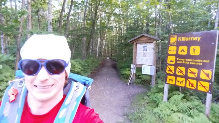 Selfie before setting off.
For the first 2 kilometers (up until just past the bridge), I followed “The Crack” hiking trail. Then I cut into the bush.
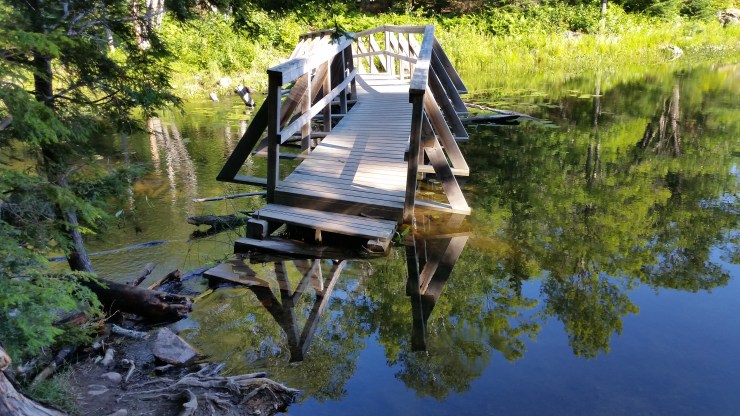 Flooded bridge on the way to “The Crack”.
I had a compass, a waterproof map and had pre-loaded the map on my phone with markers to avoid the most contour lines as possible. The first kilometer along Kakakise Lake was slow and I hiked along a cliff side most of the way. I got to a hill surrounded by blueberry patches and stopped at a clearing in the trees to get my bearings.
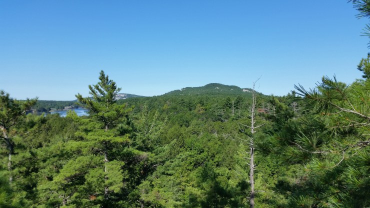 View from the hill. In the distance: Freeland Lake.
After climbing down this steep hill there was a huge flat section with barely any vegetation just large trees. The next 500 m or so was smooth sailing until the creek crossing.
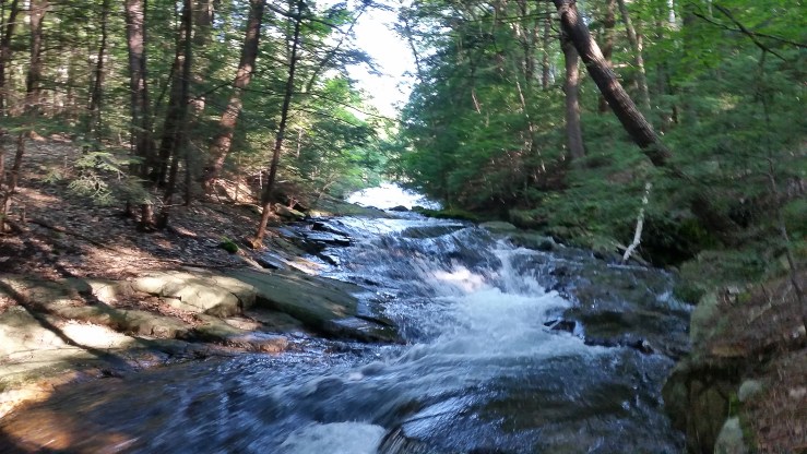 Small creek crossing.
After the crossing, I followed the portage from Freeland Lake to Killarney Lake for a few hundred meters before heading west again. I followed Killarney Ridge for about 3 km, and then I hit O.S.A. Lake.
 O.S.A Lake, Peak 489 to the right.
The next kilometer was pretty overgrown up until the base of the peak. I walked for hundreds of meters until I found a safe way up. Between two nearly vertical cliffs, there was section of big boulders and trees that were safe enough to scramble up. After a few hundred meters of scrambling, there’s about 500 m of exposed white quartzite that starts at about a 45 degree angle and tappers off to about a 30 degree angle by the end of the climb. Once I got to what seemed to be the top, I pulled out my GPS in search of the highest point.
 Almost at the top of Peak 489.
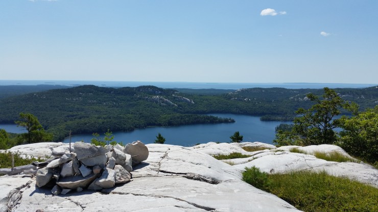
Walking around the top of Peak 489, there are awesome views of O.S.A. Lake, “The Crack” and Silver Peak. There are several burnt out campfires and a lot of cairns that typically mark the highest point. After about 20 minutes of searching, I finally found the highest point. The cover photo is a panoramic taken twenty feet from the top of Peak 489. In the photo you can see Silver peak to the right.
 Cairn at the top of Peak 489.
I sat down for a while, ate lunch then headed back. The climb down went smoothly. When I got back to O.S.A. Lake, I took a swimming break. The water there is not as clear as that of Nellie Lake, but it’s still beautiful.
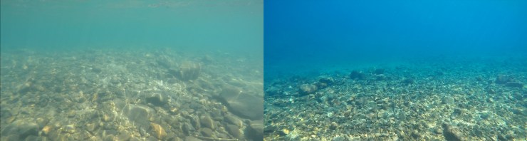 O.S.A Lake on the Left, Nellie Lake on the Right.
The hike back was painless. I even found a better spot to cross the creek. When I got back to “The Crack” parking lot, there were tons cars. Good thing I arrived early!
Click on the  icon to make the Google Map full screen, to see all the photos I took and where they were taken. Click on the
  symbol to see all the photos. There are 17 in total. I colour coded each direction: blue for the approach and purple for the descent.
Here’s a video I took of the trip.
http://www.youtube.com/watch?v=jsz4hpISKzY
Stats:
19.46 km total distance
634 m of elevation gain
