

I was looking around Google Earth and somehow happened upon this place, Sansawaju Mountain. It is located just off of Grassy Lake Road, a road I am familiar from tree-planting in the area. I headed up Friday night and spent the night at the old Shinning Tree camp located at 47.499838, -81.312946.
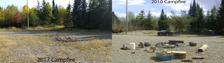 The old campsite.
September 16th, 2017
I woke up early surrounded by fog. I wiped the water off off my tent and packed up my stuff. From there, it was a 44 km drive to where Grassy River meets Grassy Lake road at 47.814333, -81.253463.
 Boat launch.
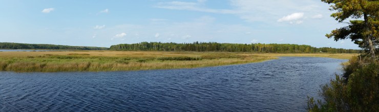
There is a crown land camping spot here big enough for several trailers and cars. I started paddling in fog, and after about 30 minutes, the fog started to lift and the sun started to come out.
 The start of the paddle.
  About 1.5 km in, Sansawaju Mountain appearing through the clouds.
After about 2.2 km of paddling, I got to Grassy Lake. This lake is a paddling nightmare, and I say that lightly. The proper path is only as wide as an aluminum boat. I didn’t know this going in, so I just paddled around in what seemed like a circle. It wasn’t until I heard a motor boat running did I get a sense of where to go. The path is marked by a white, cut-open 4-litre water jug. There is a nice campsite at the end of the lake.
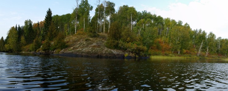 Campsite located at 47.792405, -81.234588.
I got really tired of paddling, so I pulled my kayak out of the water – way too early.
 Panoramic of Grassy Lake.
After taking out my kayak out of the water, it was a 2.9 km bushwhack through very dense forest. I approached the mountain from the East to a vertical face of choss. So I kept walking until I found an easier place to hike up. I scrambled up from the north-western tip.
 View from the top of Sansawaju Mountain.
The actual summit doesn’t have the nicest views. However, walking around the top offers some stunning views.
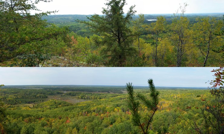 Top: facing south; Bottom: facing west.
The hike back was fairly tiring, but the paddle back was much easier (it helps when you don’t get lost). If I were to do this again, I’d paddle further and bushwhack much less. A few kilometers north of where I paddled, there is an old road that will take you within 500 m of Sansawaju Mountain. I would suggest that route.
Click on the ![]() icon to make the Google Map full screen, to see all the photos I took and where they were taken. Click on the
icon to make the Google Map full screen, to see all the photos I took and where they were taken. Click on the ![]() symbol to see all the photos. There are 9 in total.
symbol to see all the photos. There are 9 in total.
Here’s a video I took of the trip: https://www.youtube.com/watch?v=Qxff0CeVvc8
Stats:
15.1 km total distance
5.8 km hike
9.3 km paddle
410 m of elevation gain

One Reply to “”