

Josée’s parents had recently bought a hunt camp on Manitoulin Island. I drove up the night before so I could get an early start the next day. I started by visiting Kagawon Falls (Bridal Veil Falls). Read about it here: https://ontarioadventurer.ca/2020/10/24/kagawongfalls/
I hiked the entire loop including the “adventure trail” which is about 9.4km. The allure of the trail is the fantastic views from the top of the Niagara Escarpment. Starting in Rochester New York and ending in Wisconsin the Escarpment meets Ontario at Niagara falls and leaves on Manitoulin Island. About 700 meters in to the hike you’ll find the gum tree.
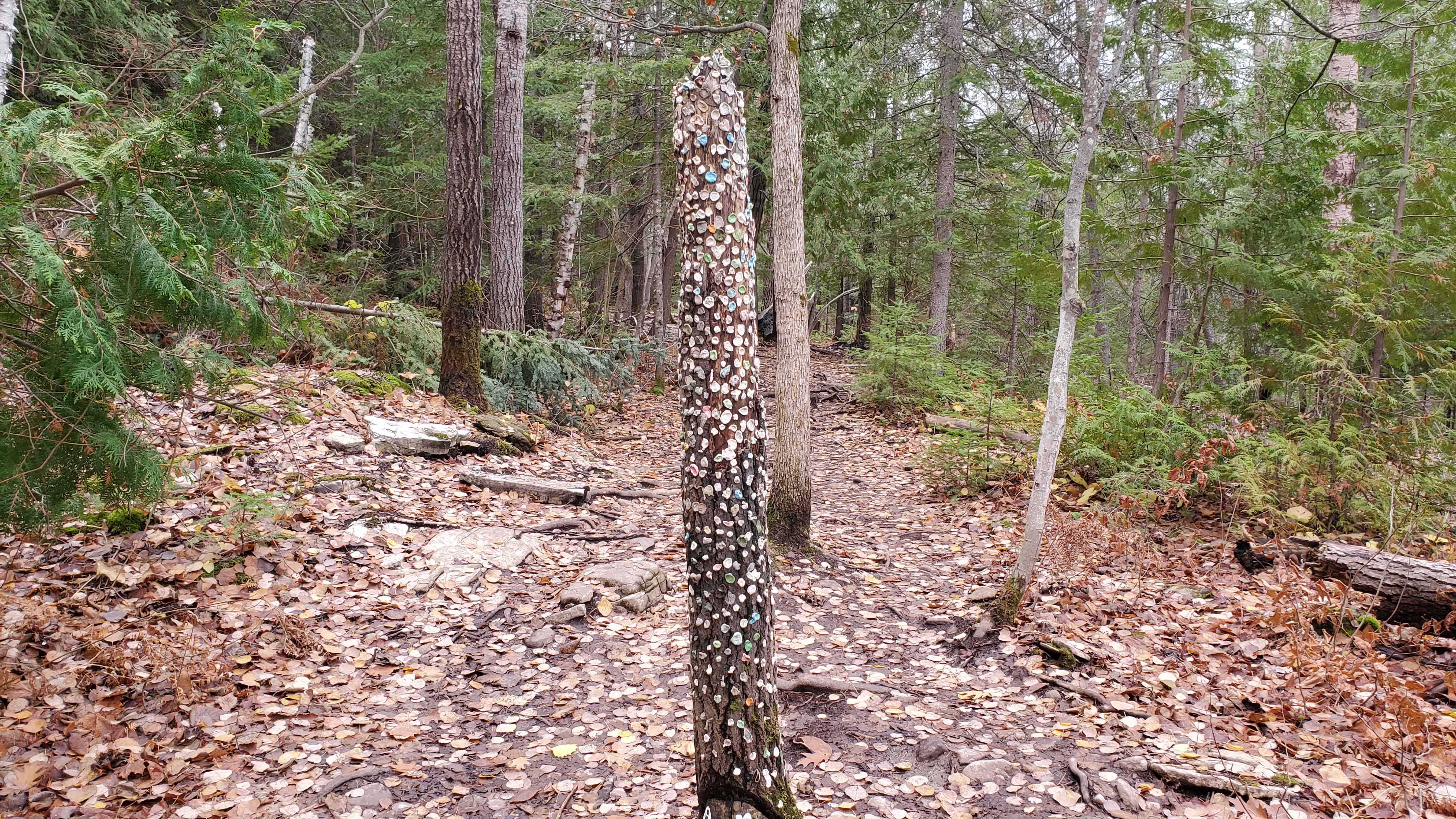 The gum tree
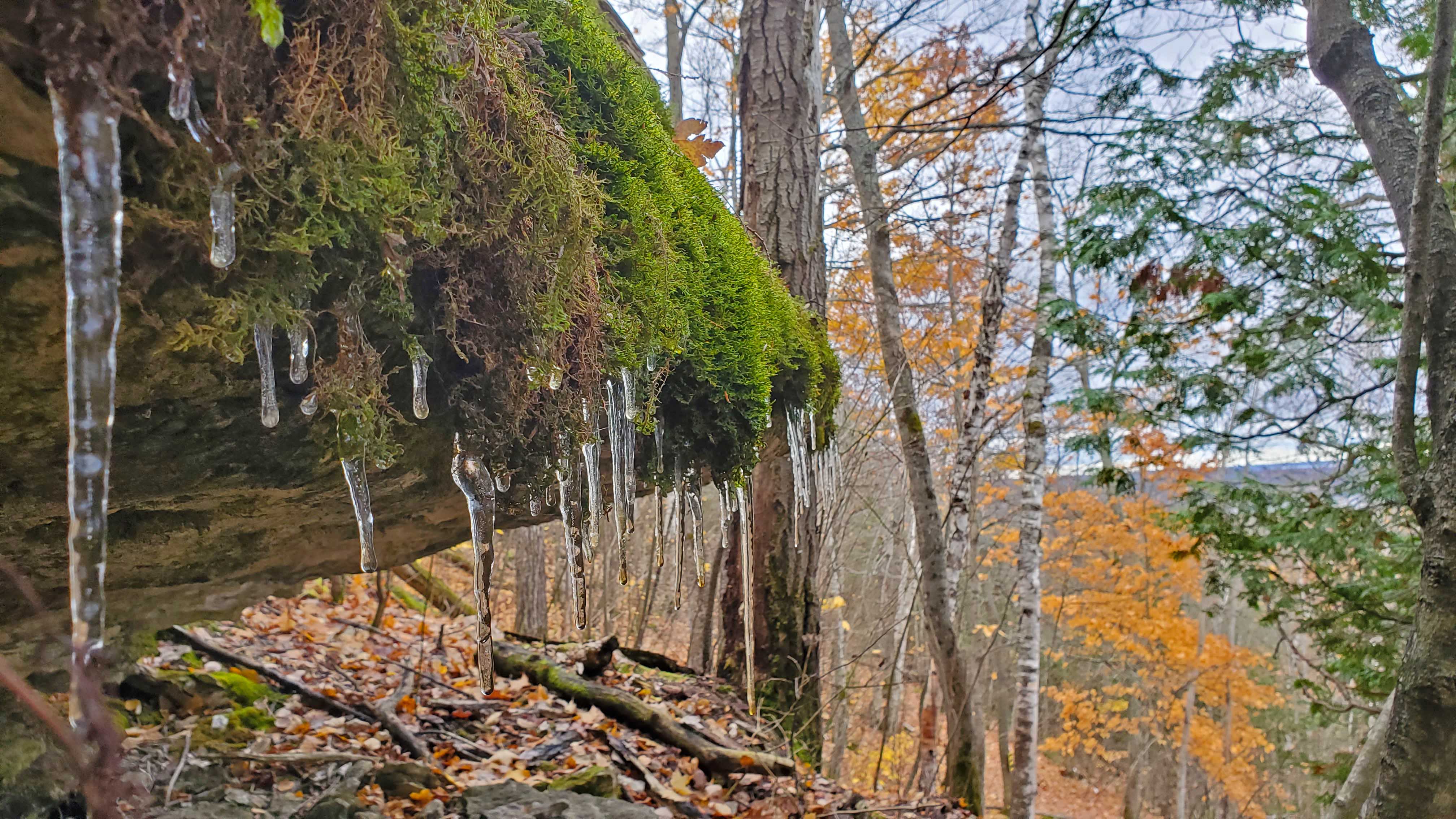
The previous night the temperature dropped below zero creating icicles.
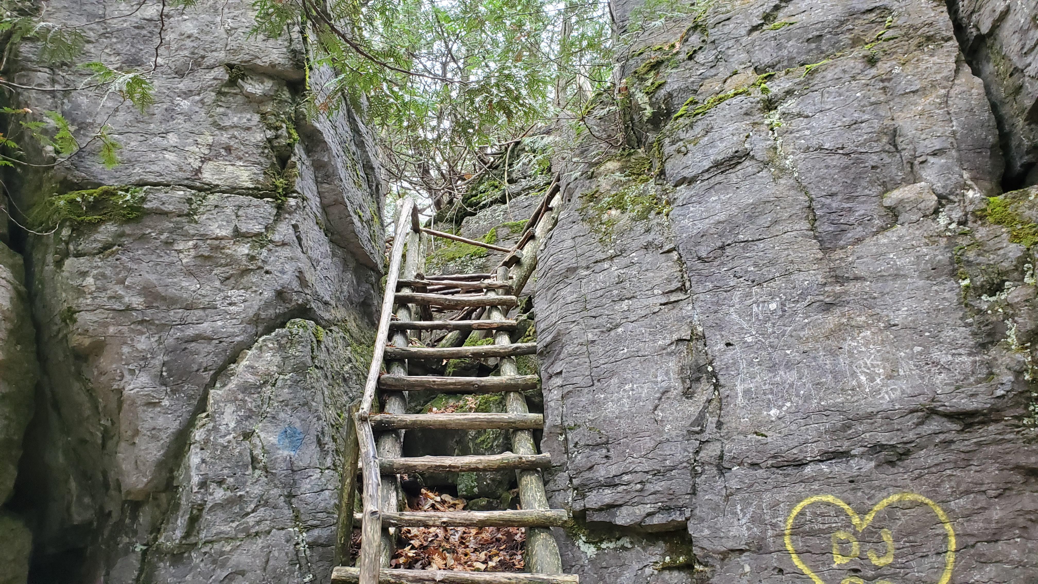
 1.9 km in you can either stick to your current path or head down the adventure trail. It is slightly rockier and there are two ladders to climb along with a cave to crawl through.
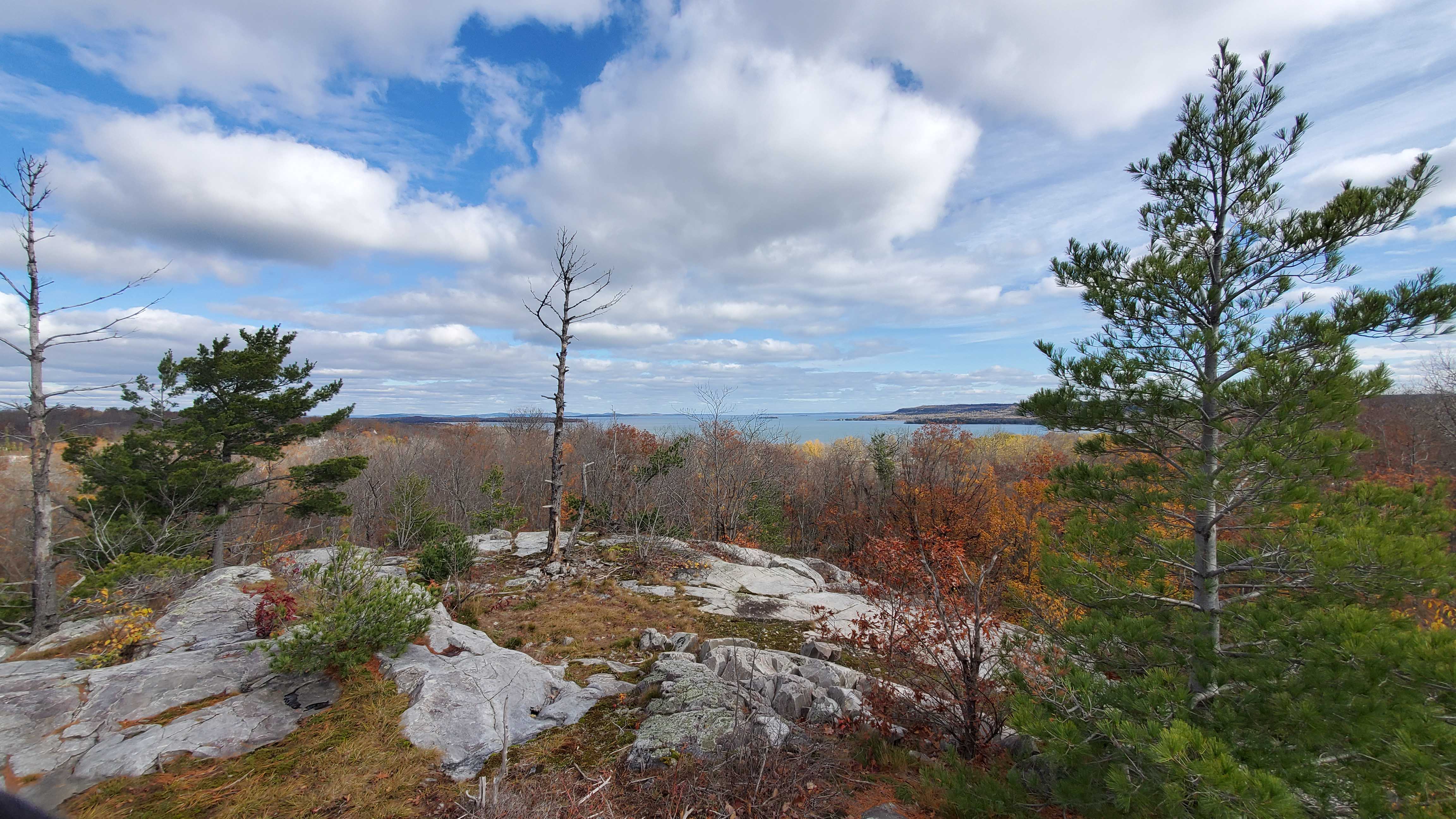
 At kilometer 2.6 I finally got to the lookout that I’ve seen in so many others photos.
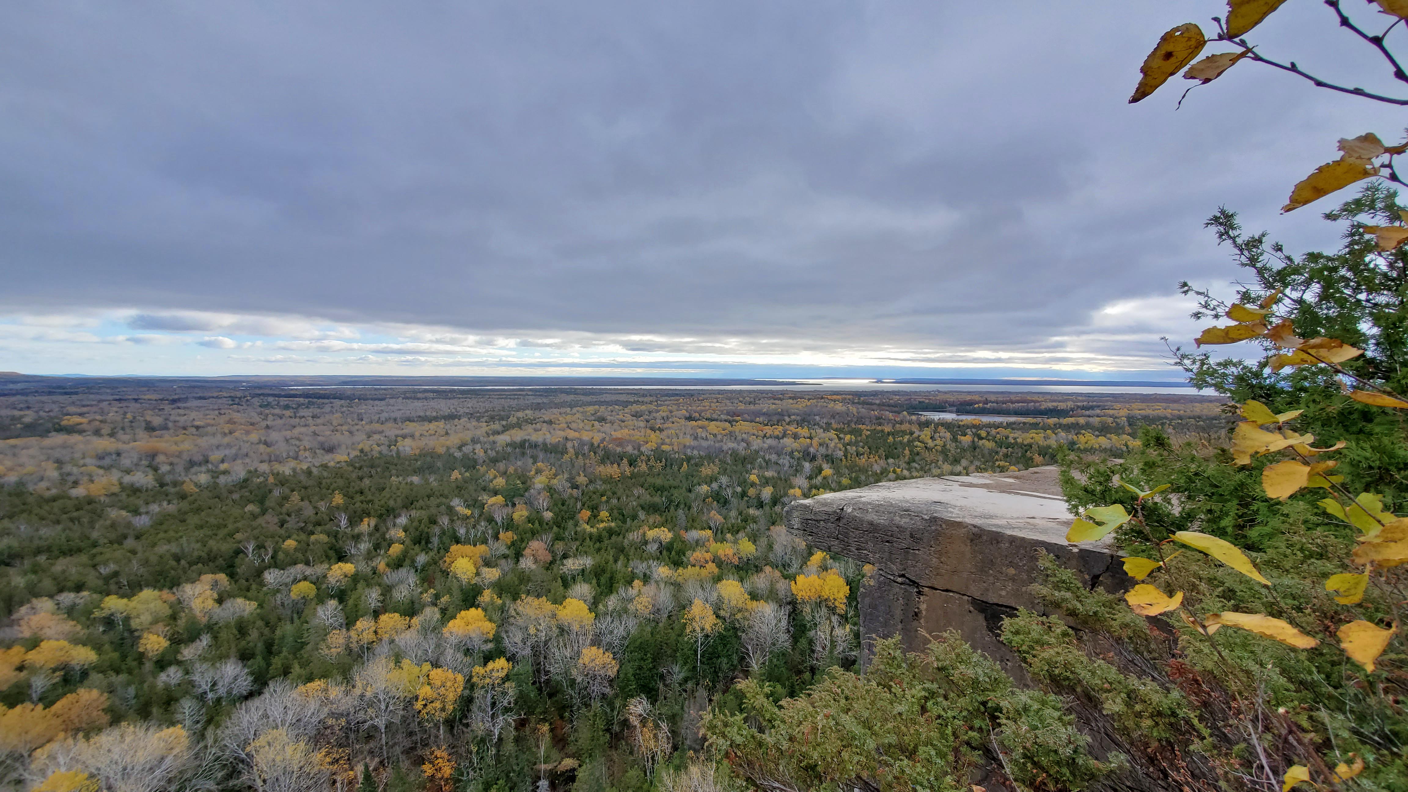
 What the birds see when we’re too busy taking photos of the landscape.
From here the trail follows the Niagara Escarpment for another 2km offering beautiful landscape views the whole way through.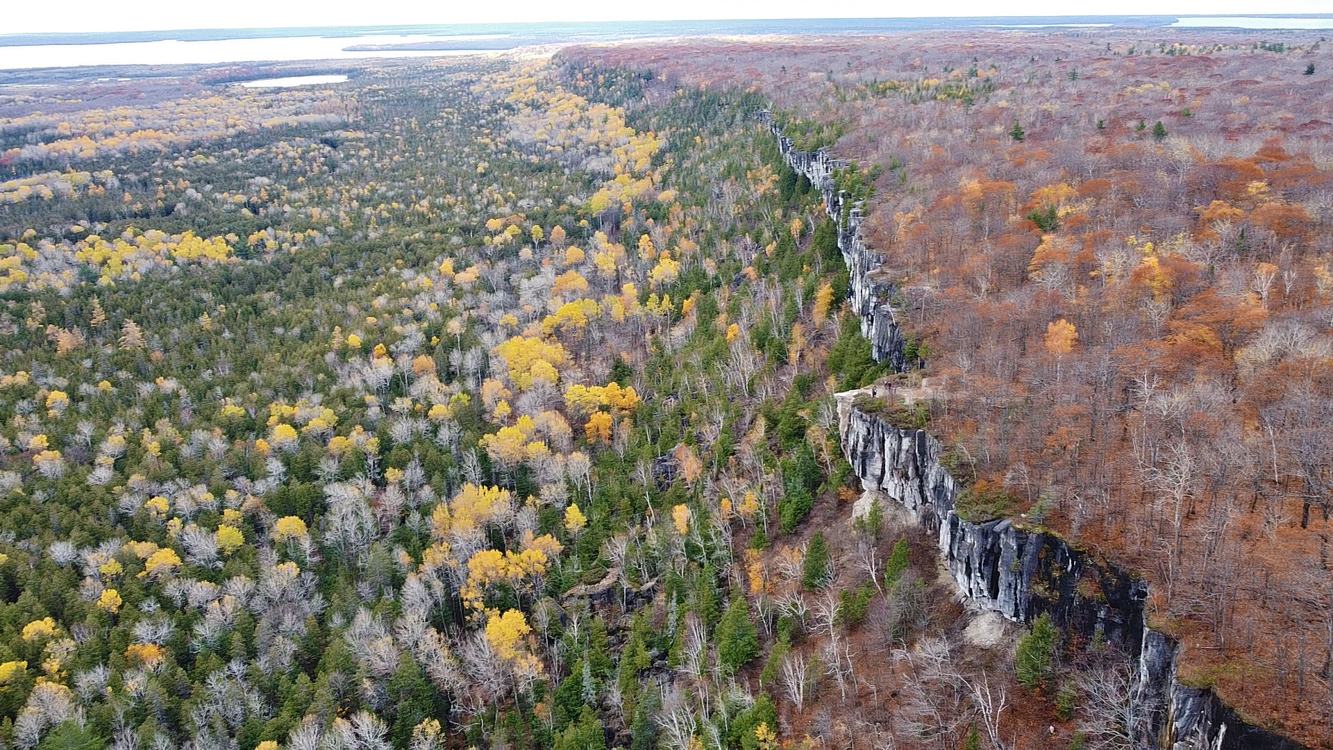 Photo of the Niagara Escarpment
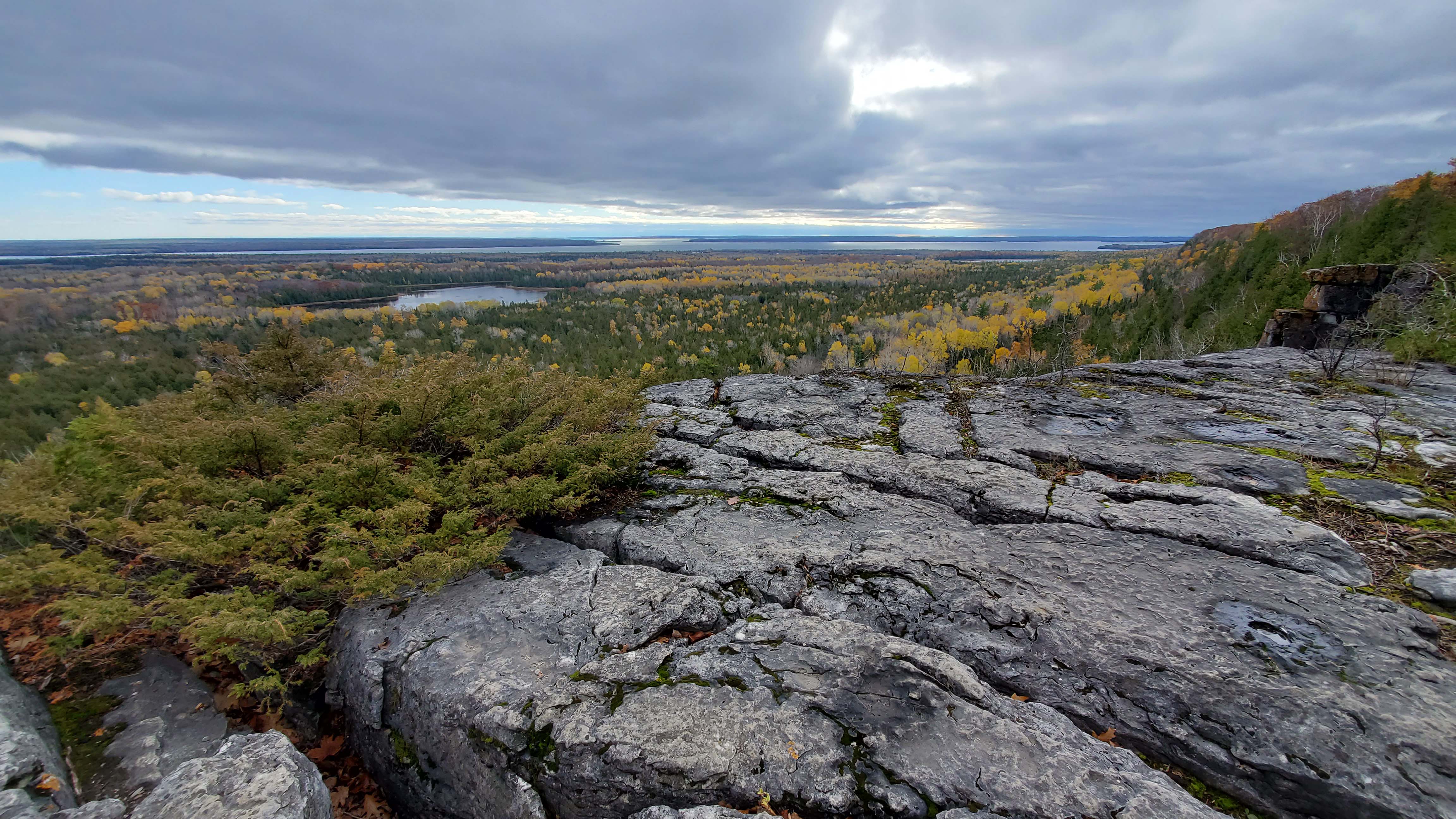 Photo from the ridge
After the ridge the trail is just a well maintained forest trail that was beautiful with all the yellow leaves.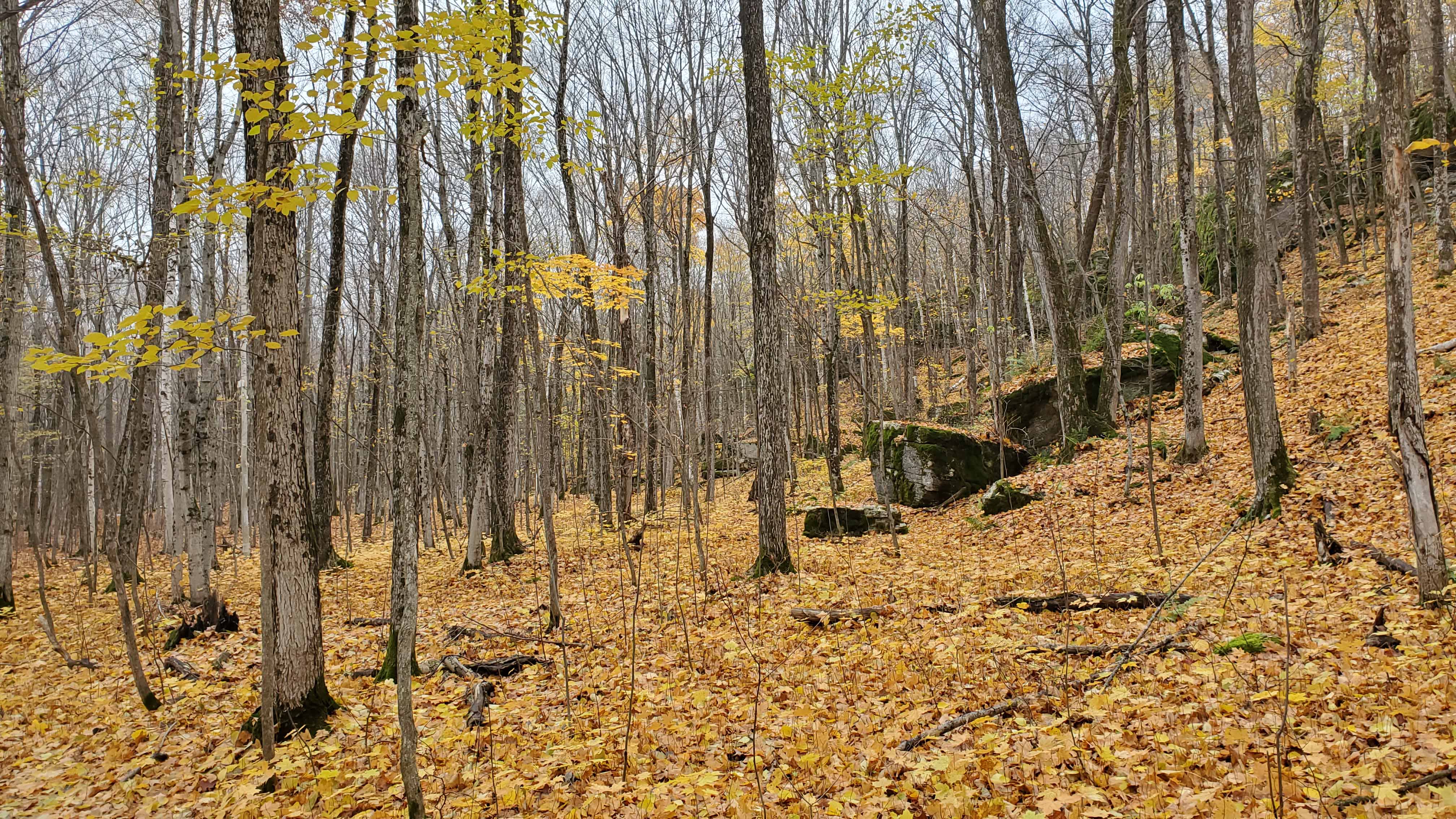
Here is a video from the top: https://www.youtube.com/watch?v=2iC8VQmIrQc
The Lewis Twin Peaks Trail
As of 2021 this is trail is closed to the public.
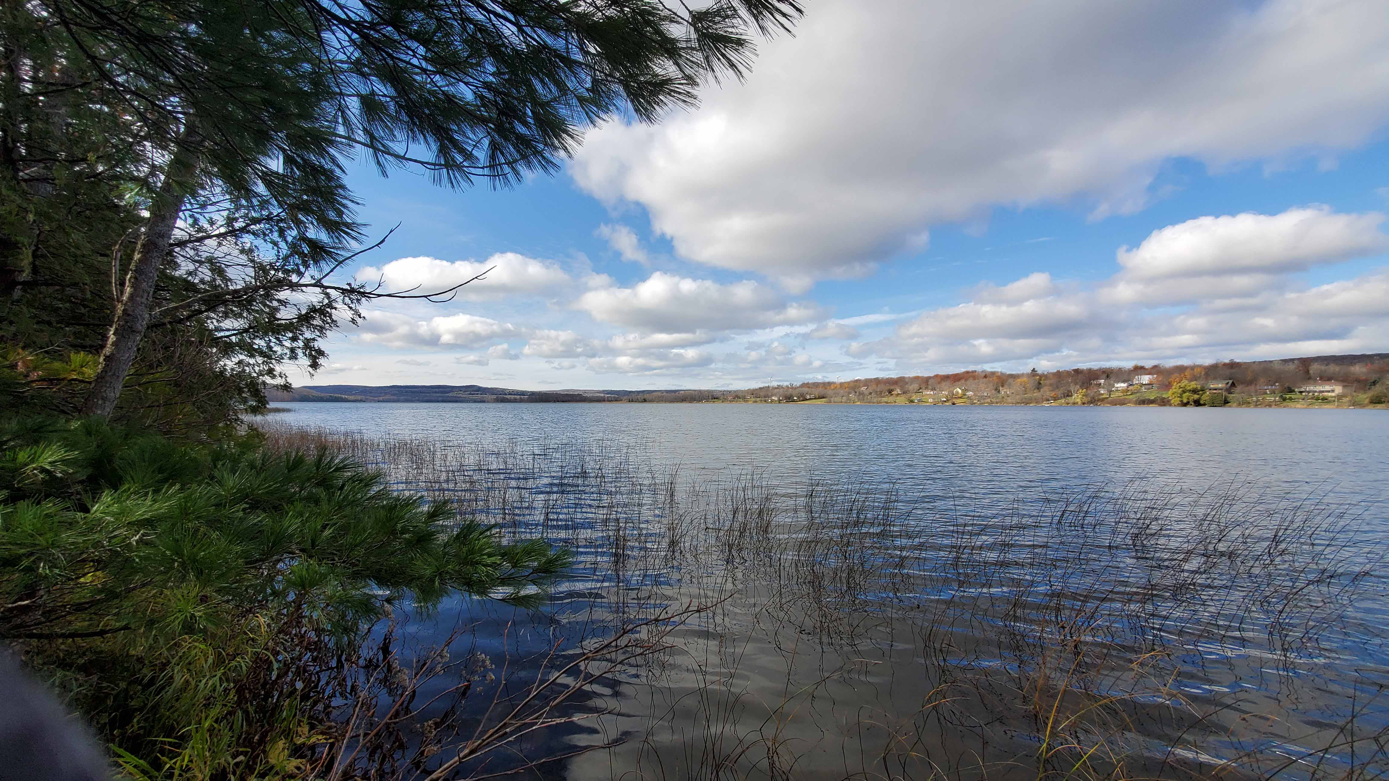
After Cup and Saucer I went to hike this trail because it was super short and was supposed to offer great views of Georgian Bay. The trail was well marked. It went around Bass Lake to two peaks that offered alright views. One of Bass Lake and the other of Georgian Bay.
 Bass Lake
 Georgian Bay in the distance
Click on the
 icon to make the Google Map full screen, to see all the photos I took and where they were taken. Click on the
  symbol to see all the photos. There are 12 in total. You’ll have to zoom out for the Lewis Twin Peaks Trail
Stats:
Cup and Saucer
Total hike: 9.4 km
Elevation gain: 267 m
Lewis Twin Peaks
Total hike: 1.7 km
Elevation gain: 36 m

Really Beautiful photos Dan!
LikeLike