

I highly recommend renting a kayak for the day in Parry Sound and doing this trip. There are several places to start off this journey but I decided to leave from Nobel Beach.
I had heard about potential climbing at “Hole in the Wall” so I wanted to check it out. From Nobel beach it’s a 4.3 km paddle. There is a great little bay to park your kayak by the green port hand buoy.
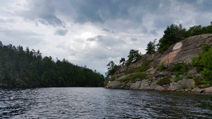 East entrance to Hole in the Wall.
After parking my kayak it was a short hike to a great lookout.
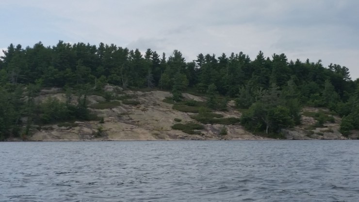
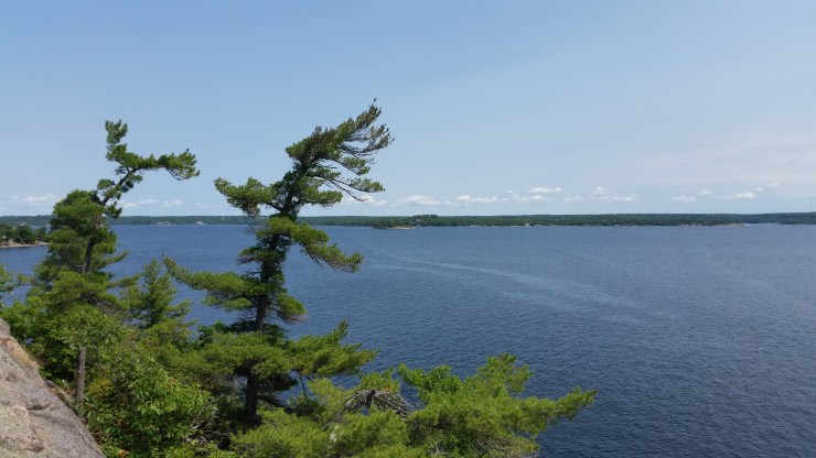 Elizabeth Island in the distance.
From the lookout it was a short hike to the climbing and cliff jumping. There are 3 bolted anchors at the top of the climbs. There are three bolts below the anchors near the water so that you can lead climb up to the anchors. The route info is here: https://ontarioadventurer.ca/hole-in-the-wall/ . The cliff jumping is just a few meters away from the climbing.
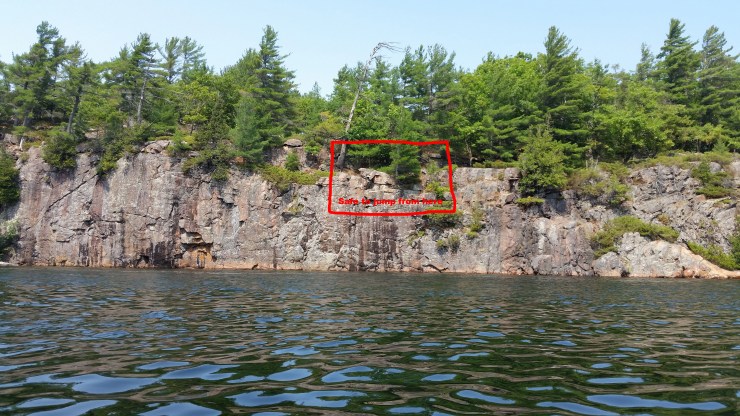 The Red box is where it’s safe to jump. You have to jump out a few feet though!!! The easy way up is just to the right. There is a rope.
Here is a short video of my paddle through Hole in the Wall: https://www.youtube.com/watch?v=Ti0hKpJ2i10
After Hole in the Wall I continued paddling until I hit Boulder Bay. I was told there was an excellent campsite there and whoever told me was right. There is a padded thunderbox, several grills, several fire pits and a whole bunch of flat land to set up a tent. Here is a video from the top of Boulder Bay: https://www.youtube.com/watch?v=EevHmg-8wVg
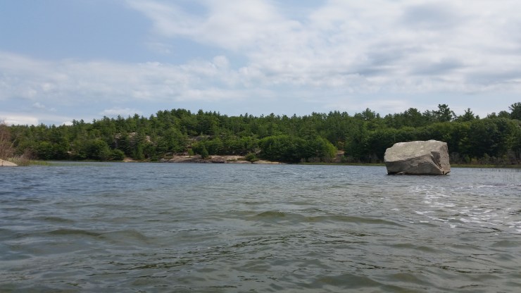 Boulder Bay got it’s name from the random boulder just hanging out. The campsite is just off in the distance.
From Boulder Bay I paddled back to the beach where the day began. Not without paddling past a great lookout spot just before getting to Nobel beach.
 Read about my snowshoe trip out here: https://ontarioadventurer.ca/2017/02/18/big-sound-shoreline-off-nobel-beach/
Click on the ![]() icon to make the Google Map full screen, to see all the photos I took and where they were taken. Click on the
icon to make the Google Map full screen, to see all the photos I took and where they were taken. Click on the ![]() symbol to see all the photos. There are 9 in total. Because there is a lot of camping in this area I highlighted some private land to watch out for. All of Wall Island is crown except for that little spot.
symbol to see all the photos. There are 9 in total. Because there is a lot of camping in this area I highlighted some private land to watch out for. All of Wall Island is crown except for that little spot.
Stats:
Total paddle : 13.2 km
Total hike: 1 km
